
Things to Know Before Hiking to Jiaming Lake
Preface
Everyone made it back safely from Jiaming Lake — with a bonus 100-peak, Mt. Sanzha.
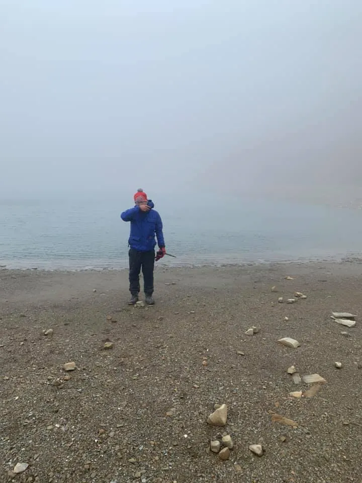
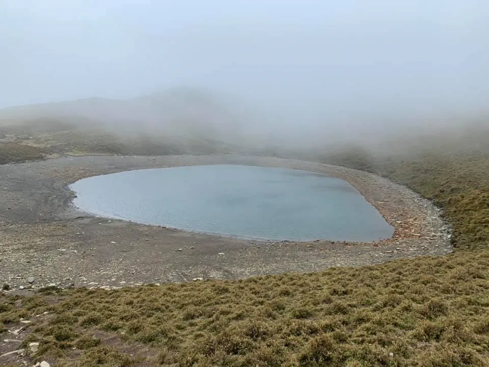
On the same day we witnessed sunrise, a blizzard (ice pellets), howling winds from every direction, thick fog, and freezing temperatures. After waiting half an hour in the cold, Jiaming Lake finally revealed itself for a modest 30 seconds.
Three days of hiking, and the lake only emerged from the mist after we waited 30 minutes in the wind.
 The full view of Jiaming Lake
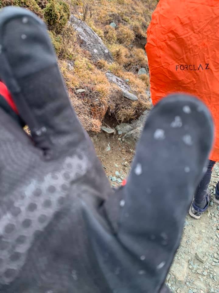 Ice pellets started falling!
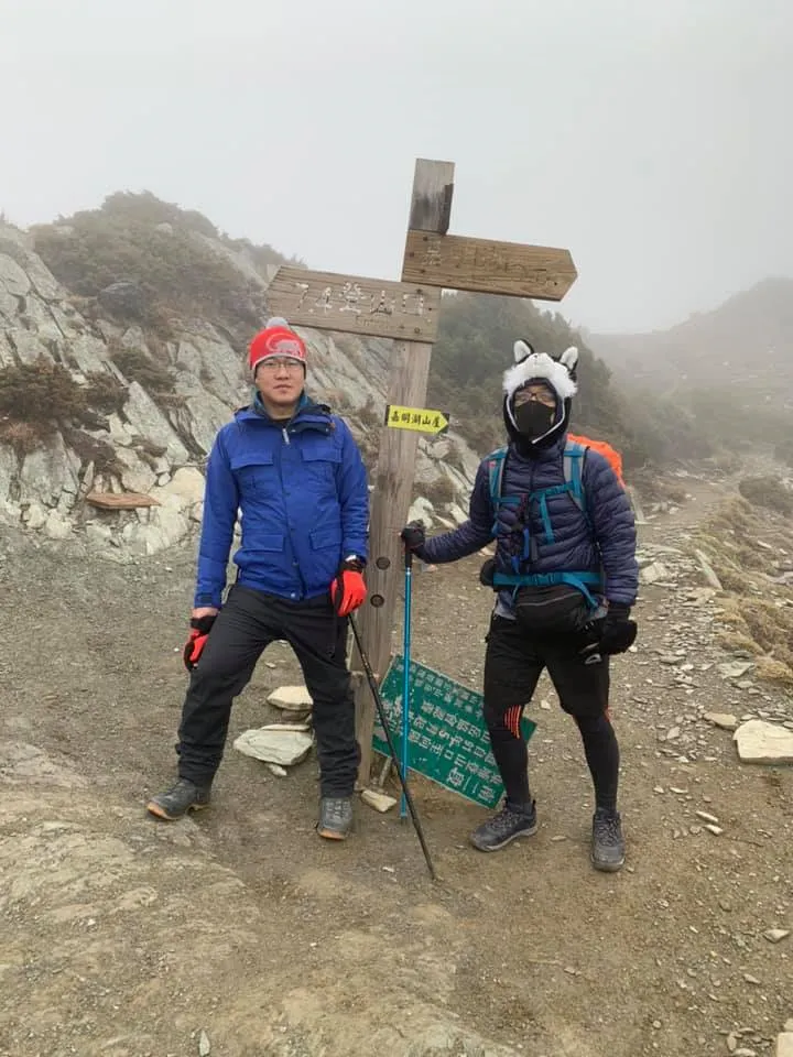
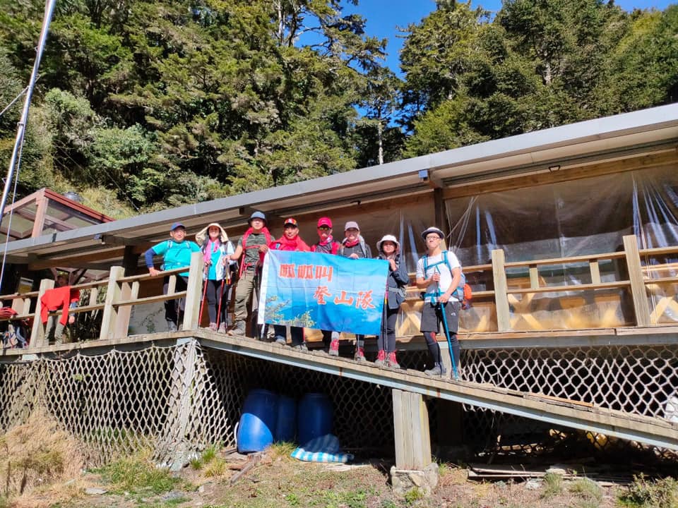 Coming down the mountain — the obligatory trail marker photo
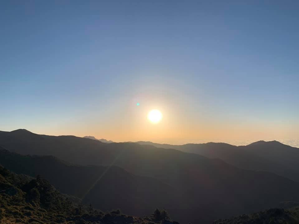 Beautiful sunrise, right?
Key Things to Know Before You Go
-
Road restrictions on the way to the police checkpoint. The access road to the police substation where you register your mountain entry pass passes through several construction-related checkpoints. The window for driving through is limited each day — miss it and you could wait 3–5 hours before being let through.
-
Booking the mountain huts correctly.
- Day 1: Xiangyang Hut (向陽山屋)
- Day 2: Jiaming Lake Refuge Hut (嘉明湖避難山屋)
Do not book the wrong huts — the extra distance could put you and your team in serious danger.
-
Distance and physical demands. Over three days, you'll be carrying roughly 10 kg of gear. We pre-ordered meals but still kept 3–5 days of emergency rations on us. The difficulty level is medium-high. The route is steep in both directions with relentless climbs and descents — it is absolutely not suitable for unfit or unprepared beginners.
Note: You can hire a mountain porter to carry your heavy pack, but keep your rain gear and light snacks on you.
- Day 1: Police checkpoint → Xiangyang Hut — 5.6 km, 542 m elevation gain (depart ~13:00)
- Day 2: Xiangyang Hut → Jiaming Lake Refuge Hut — 5.8 km (depart 03:00), 675 m elevation gain
- Day 2 (light pack): Refuge Hut → Mt. Sanzha → Jiaming Lake → Refuge Hut — 10.3 km, 869 m elevation gain
- Day 3: Refuge Hut → Police checkpoint — 11.4 km (depart 04:00)
- Total: approximately 33 km
With a heavy pack, the cumulative physical toll is substantial.
-
Unpredictable extreme weather. One moment it's sunny; the next, strong winds push in a cloud layer, unleashing heavy snow (ice pellets), gale-force gusts, and dense fog. Stay together as a group — never stray. On our summit attempt, two members from different teams couldn't continue and waited at a spot for their groups to return. The fog rolled in suddenly and when the groups came back, those people were gone. In heavy fog and wind, a team may not know whether to search or retreat to the refuge hut. Please do not separate from the group — it is extremely dangerous. If someone doesn't show up or the weather deteriorates rapidly, follow the crowd and retreat immediately. Don't wait around hoping things will improve.
-
How much gear to bring. This depends on the individual. I used about 90% of everything I brought. In the mountains, extreme weather can hit at any time — extra gear is not just added weight, it's your safety margin.
-
Cell service and internet. Signal is essentially gone once you get close to Xiangyang Hut.
-
Water.
- Xiangyang Hut: drinking water and washing water available
- Jiaming Lake Refuge Hut: drinking water only
-
Bring your own utensils. The meal service does not provide bowls or chopsticks.
-
Good restaurants in Guanshan for the post-hike celebration dinner. Red Roof Flavor Restaurant (紅瓦屋風味餐廳) — indigenous cuisine. A table runs about NT$3,000. Distinctive and quite good.
Final Thoughts
A friend's words worth passing on:
Jiaming Lake is not a city park, and Xiangyang Mountain is not a city hill. The mountain scenery is a reward unlike any other, but the risks are real. Prepare well before you go.
P.S. Here is my gear checklist: Link


Comments